Ventus Geospatial - Spatial Data Services and GIS Data Analysis
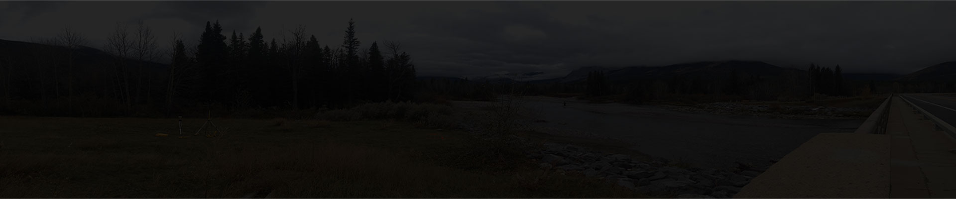
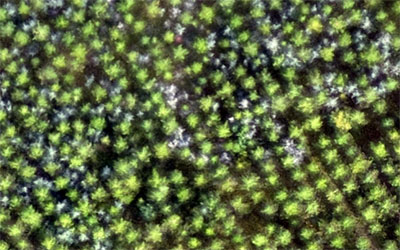
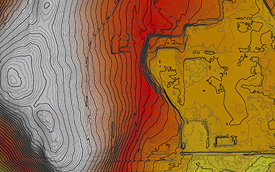
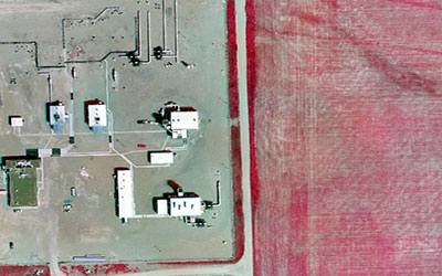
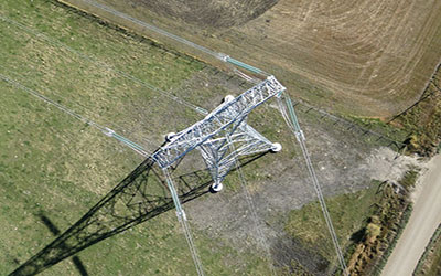
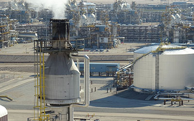
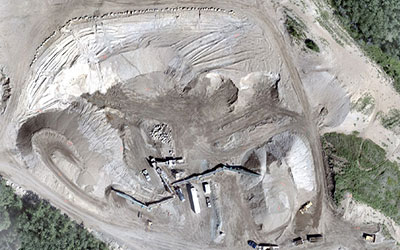
Ventus Geospatial is North America’s innovation leader in the field of spatial data acquisition, assessment & analysis (SDA3). With Canadian operations based out of Calgary, Alberta and Lethbridge, Alberta – Ventus specializes in the integration of advanced UAV (drone) data acquisition technologies with high performance GIS analysis and visualization tools to produce rich client specific geospatial data sets, high quality imagery, terrain feature models and geo-referenced asset inspection and facilities management information.
Industry Experts
We have the geospatial experts in place to meet your specific needs, and ensure professional UAV data acquisition, assessment and analysis.
Global View
We take a wholistic view of your problem, and apply the latest UAV technology and geomatics innovation to provide the most cost effective and timely solutions.
Renowned Ability
We are well known for our focus, innovation, and ability to get the job done under the most complex environments.