

Customer: MMM Group
The Government of Nunavut required updated topographic information for the purpose of an airport relocation in southern Baffin Island. Cost was a large factor due to the remote location and cost of mobilizing conventional airborne service.
The Challenge
Provide a timely, cost-effective solution for capturing high resolution topographic data without sacrificing data quality or accuracy.
-Cost
-Timely Data
-Accuracy
-Quick Deployment
Our Solution
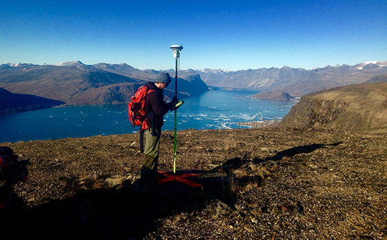
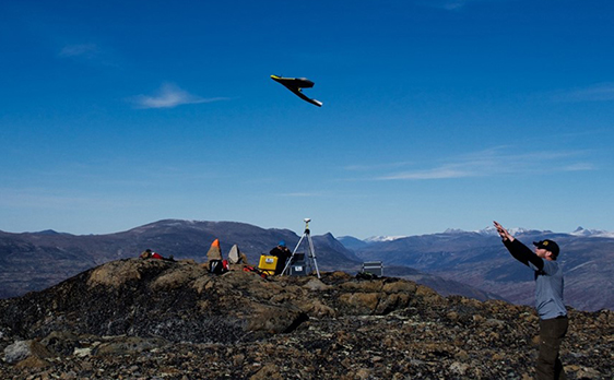
Employ the use of UAS and conventional land survey service to provide highly accurate terrain modelling for the required site suitable for engineering design of the complete airport.
-Drones
-GIS
-Sensors
-Actionable Data
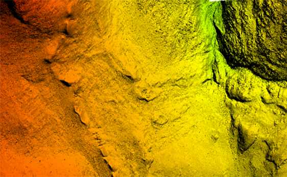
The Results
Utilizing the combined methodologies, we were able to produce a dense high accuracy terrain model meeting the specifications for engineering design and provide an up to date orthomosaic of the site at no additional cost to the client. The total cost of the survey approximated 55% of a conventional helicopter LiDAR survey, while providing a higher accuracy specification than a LiDAR survey and within the time constraints of the client by 25%.
-Time Saved = 25%
-Cost Savings = 55%
-UHD Imagery Provided at no Additional Cost
-Project Plan to Completion:
21 days