Engineering Grade Surveys
- Home
- Engineering Grade Surveys
Engineering Grade Surveys
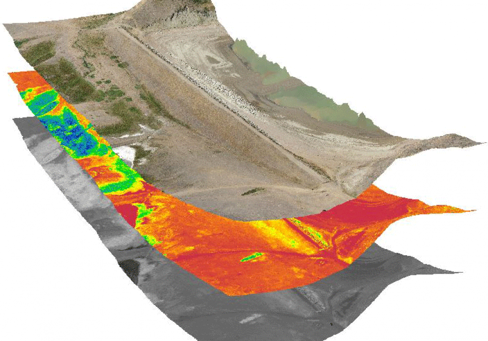
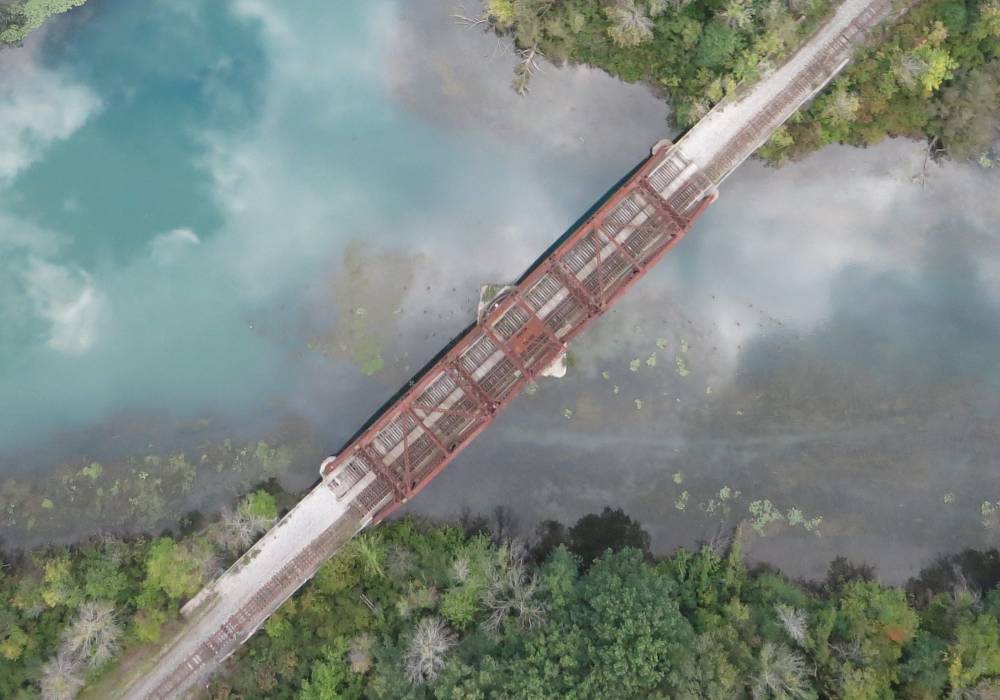
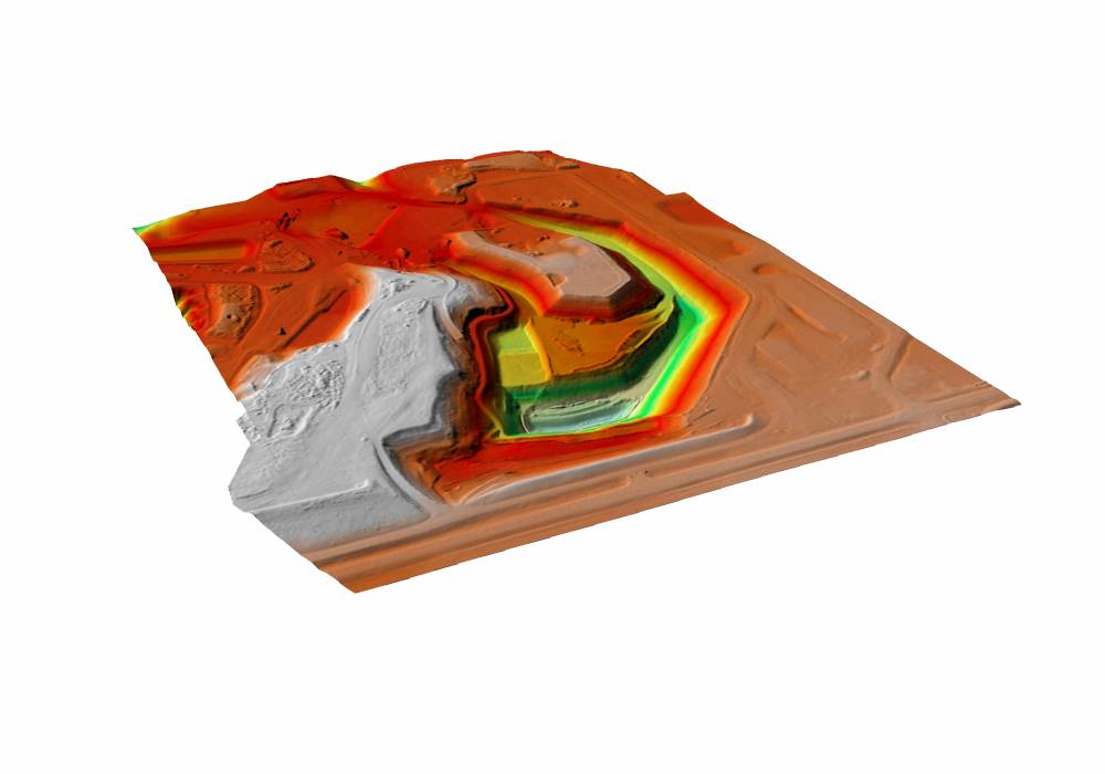
Ortho-rectified imagery captured by ultra-high resolution cameras mounted on advanced unmanned aerial systems (UAS) provides highly accurate and content-rich information that can be rendered through terrain modeling for many engineering grade applications, such as: detailed highway design, highway condition assessment, highway deformation monitoring, detailed drainage modelling, bridge inspections, runway inspections/deformation monitoring and volumetric/quantity calculations.
Ventus Geospatial leverages the latest in geomatics, Unmanned Aerial System (UAS) technology and expertise to acquire seamless topographic information and aerial imagery which serve a wide variety of engineering projects. Data acquisition is quick, comprehensive, accurate and highly detailed, making it ideal for engineering design, site selection and infrastructure development.
Properly planned, controlled and executed UAS surveys can produce hard surface accuracies of 2-4 cm in X, Y, Z and soft surface vertical accuracies of 5 cm, making high resolution mapping comparable in accuracy to conventional ground survey methods, but with the added value of a complete data capture that enables highly reliable road bed modelling, and with no requirement for repeated field visits. For small to medium sized projects, UAS surveys provide the same level of detail, accuracy and reliability of airborne or vehicle mounted LiDAR surveys, but at a fraction of the cost.
The Ventus Advantage
1.
The Ventus Advantage
2.
The Ventus Advantage
3.


