Laser Scanning
- Home
- Laser Scanning
Laser Scanning
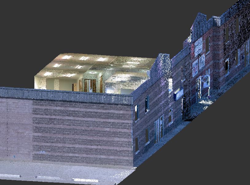
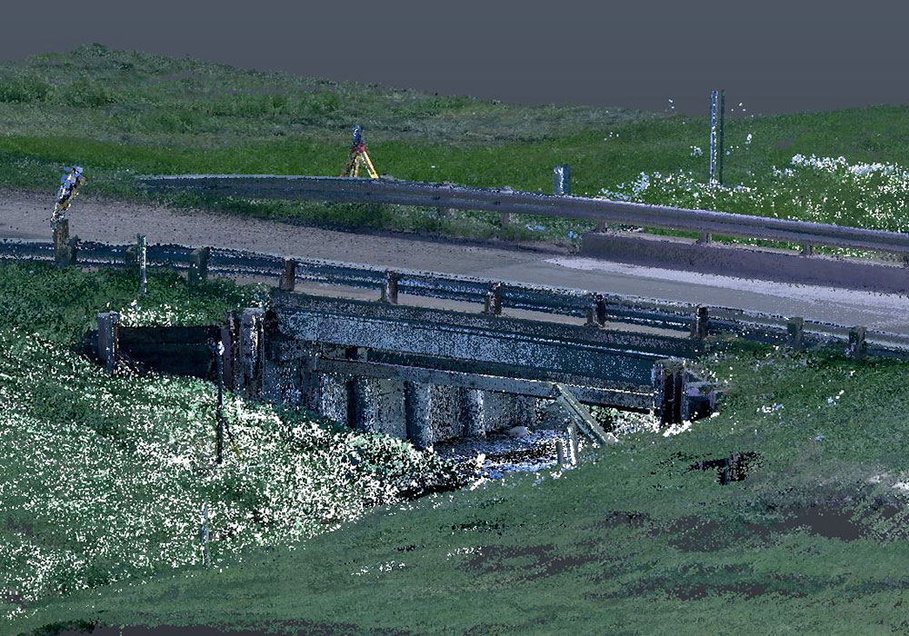
Laser Scanners (Terrestrial or LiDAR) are capable of producing extremely accurate/precise point clouds. By acquiring greater than 1,000,000 points per second, laser scanning enables highly detailed surveys of extremely complex structures or objects. The data created by a 3D Laser Scanner can be rendered into user-friendly 3D models, which allows for real-time, accurate measurements of any aspect of a project. The slightest deformities on a structure (such as an Overpass) become easy to identify.
Combining a point cloud produced by a Laser Scanner with a point cloud produced by an Unmanned Aerial System (UAS), produces an extremely dense, accurate dataset. This allows for unparalleled 3D modelling capabilities, with engineering grade accuracies, for multiple applications, such as Topography, Bridge Inspections, Runway Inspections, Railway Mapping, Change Detection, or even Volumes of Stockpiles. Utilizing a combination of Laser Scanning and UAS modelling provides clients with a fast, reliable, cost effective way to safely and comprehensively inspect a structure from all angles.
The Ventus Advantage
1.
State-Of-The-Art UAV/Thermal Sensor, with Advanced 3-Axis Gimbal Stabilization.
The Ventus Advantage
2.
Extremely Reliable/Safe Quadcopter Capable of Precise Flights in almost any Conditions.
The Ventus Advantage
3.
Minimal Human Risk, making this ideal for hazardous environments.


