
- March 24, 2018
- Posted by: expventusgeoca
- Category:
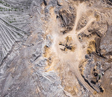
Ventus Geospatial leverages cutting-edge geomatics, remote sensing and GIS expertise to create custom mapping and spatial analysis solutions. Unmanned Aerial System (UAS) technology enable the rapid, cost-effective acquisition of high-resolution aerial imagery and topographic information which is the foundation for powerful information systems and comprehensive spatial analyses. Below are listed just a few applications of this powerful technology:
Ventus Geospatial is an acknowledged industry leader in the acquisition and analysis of rich imagery acquired by remote sensing from drone platforms. We have flown thousands of missions without incident, possess a blanket special flight operations certificate from Transport Canada, and are fully insured for aerial operations.