GIS, Remote Sensing & Spatial Analysis
- Home
- GIS, Remote Sensing & Spatial Analysis
GIS, Remote Sensing & Spatial Analysis
A Geographic Information System (GIS) is a computer system designed to capture, store, manipulate, analyze, manage and present all types of geographic and spatial data. Spatial data plays an integral role in managing land and land-based assets by providing key information to enhance management practice and decision-making.
Ventus Geospatial leverages cutting-edge geomatics, remote sensing and GIS expertise to create custom mapping and spatial analysis solutions. Unmanned Aerial System (UAS) technology enables the rapid, cost-effective acquisition of high-resolution aerial imagery and topographic information which is the foundation for powerful information systems and comprehensive spatial analyses. Below are listed just a few applications of this powerful technology:
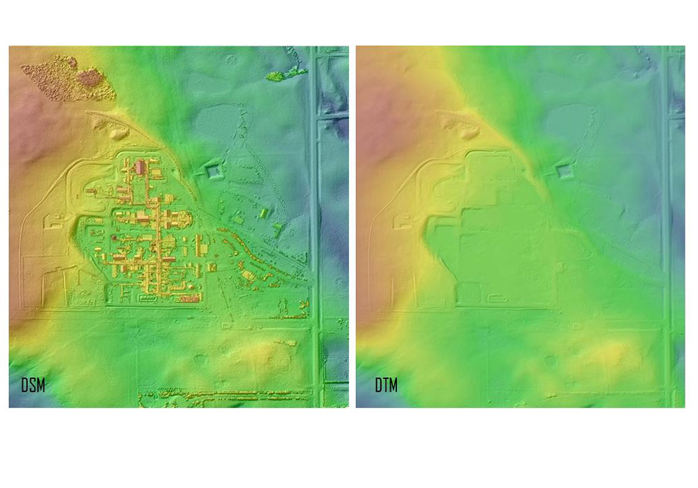
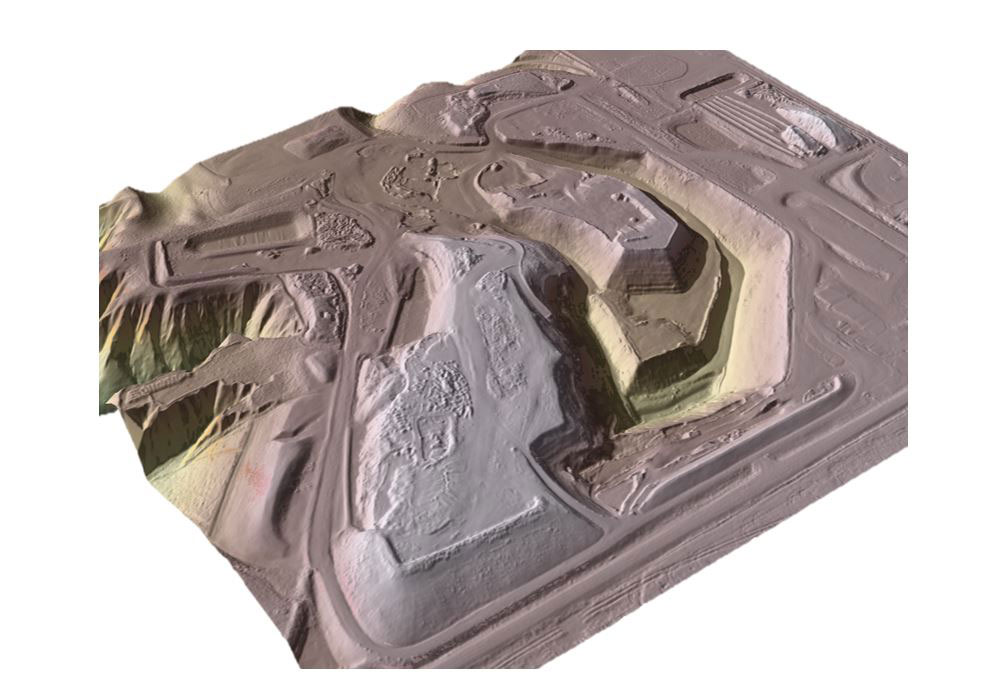
Digital Topographic Information (DSM, DTM & Contour Mapping), Vegetation Health Mapping and Statistical Comparisons of Plant Health, Flow Modelling for Drainage or Spills, Spectral Mapping (Contaminant Identification, Tree Counts, Crown Areas, …), Volume, and Distance & Area Measurements for Compliance
Ventus has the unique capability to extract engineering grade Digital Terrain Model (DTM) from Digital Surface Models (DSM) making it possible to have buildings, trees, vehicles, fences, vegetation and other ‘off-terrain’ surface features removed from elevation data to produce an engineering ready ‘bare-earth’ or ‘ground’ surface which are RTK referenced to under 5cm vertical and 3cm horizontal accuracy.


