Thermal Inspections & Mapping
- Home
- Thermal Inspections & Mapping
Thermal Inspections & Mapping
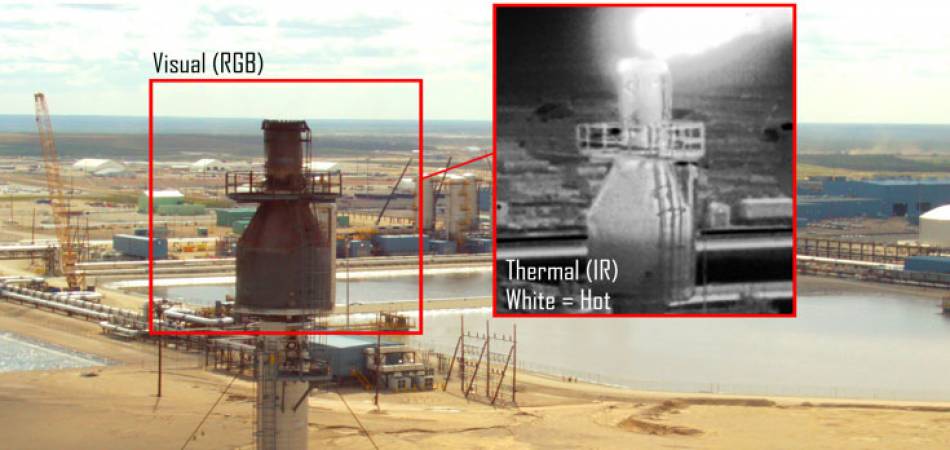
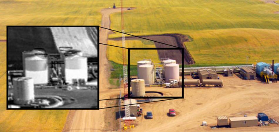
High resolution thermal imagery coupled with RGB aerial mosaics and oblique photography convey valuable information for the assessment of building envelope performance, plant operations, and cooling tower performance.
Ventus Geospatial has a unique capability to acquire and merge thermal and RGB imagery using high performance Unmanned Aerial Systems (UAS) and advanced image processing applications to produce highly accurate two and three dimensional mappings of the thermal characteristics of any structure. Data acquisition is quick, comprehensive, accurate and highly detailed, including absolute temperature measurements. Remote sensing from UAS platforms is minimally intrusive and reduces or removes the human element from facilities inspection thereby lowering risk to people and the environment and making it an ideal method for facilities inspection in hazardous or risk sensitive environments.
The Ventus Advantage
1.
State-Of-The-Art UAVs & Thermal Sensors, with either Advanced 3-Axis Gimbal Stabilization on our Quadcopter UAV or the stability of a Fixed Wing UAV.
The Ventus Advantage
2.
Extremely Reliable/Safe Quadcopter & Fixed Wing UAVs Capable of Precise Flights in almost any Conditions.
The Ventus Advantage
3.
Minimal Human Risk, making this ideal for hazardous environments.


